Monitoring Marine Weather
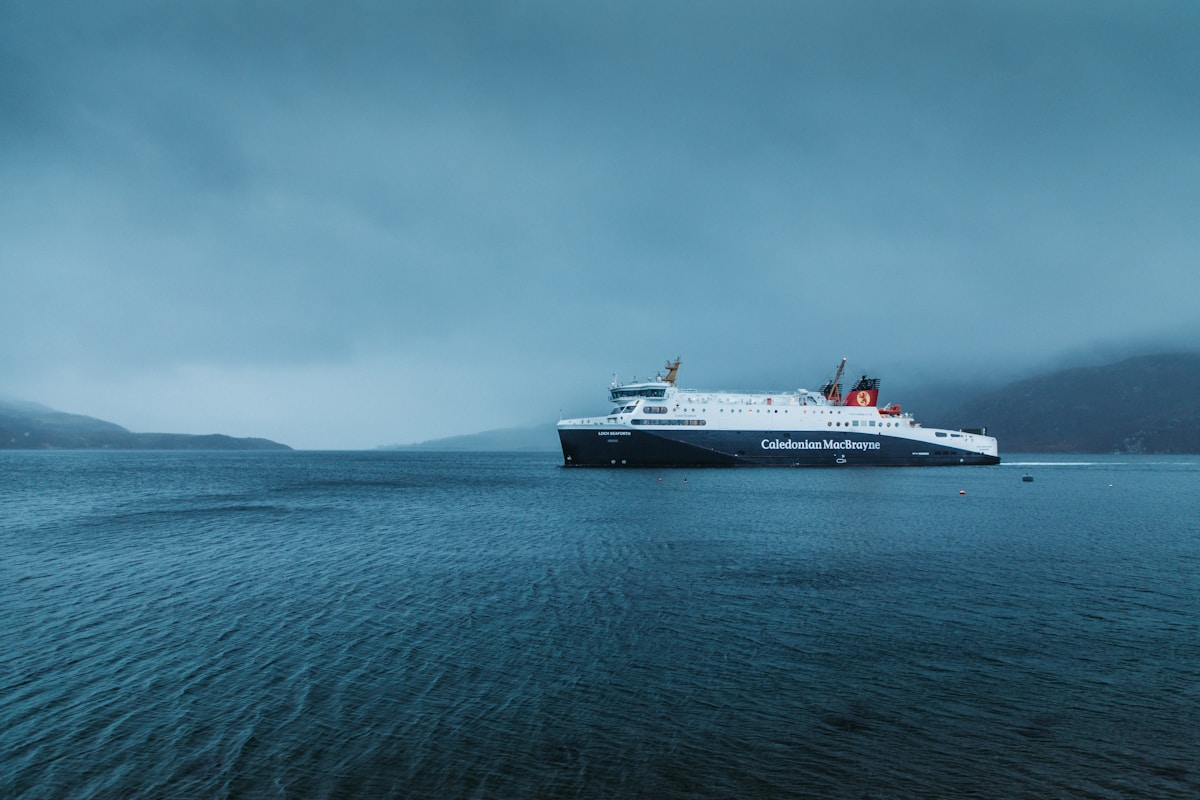
For boaters and mariners everywhere, monitoring marine weather is a crucial step towards safety. The sea is fickle, giving you calm waves now and then giving you torrential squalls an hour later. Regardless, you need to find ways to know the weather ahead before and during a voyage.
Expert mariners use different types of technologies to ensure that they have fair or agreeable weather ahead. Here are 5 ways to monitor marine weather, whether you do it yourself or use different third-party channels to do it.
Marine Weather
Generally, marine weather refers to the conditions of the coastal waters that you will be visiting. This includes storm forecasts, sea conditions, and weather satellite images. It refers to the general atmospheric conditions of specific seas and oceans, using these patterns to predict or show real-time climate situations within the locale.
Unlike onshore weather, marine weather is not simply a matter of having sunny, windy, rainy, or snowy weather. It needs to provide conditions that include wind speed, sea state, tide levels, precipitation, humidity, sea surface temperature, air pressure, and even wind direction.
These reports also change depending on the location and even include applying AI to weather to understand advanced marine weather patterns. Depending on the level of detail that you need, you can utilize third-party providers or do the checks yourself.
Marine Weather Radar

You can monitor marine weather by yourself using nautical charts and weather radars. This is the best way to do it if you are in the sea for commercial purposes, whether for shipping, transport, logistics, or even fishing. Always make sure that you use the right chart and radar when you need them.
A marine weather radar is an electronic or mechanical device that uses radio waves to monitor the ocean and its movements. These waves are reflected from the ocean’s surface and sent back to the radar units.
Marine weather radars use Doppler radar beams that detect the velocity of moving objects. When an object moves, the radar beam bounces off it, and the radar system then scans the reflected signal. If the object is moving faster, it will appear brighter, and if the beam bounces off an object at a slower speed, it will show as darker.
Marine radar is mainly used to track approaching weather patterns, such as storms and hurricanes. This is crucial if you need minute-to-minute and hour-to-hour information as you move around the seas.
Marine Weather Satellite

Another effective and popular way to monitor marine weather is weather satellites. There are various types of satellites used to monitor marine weather, including radar, meteorological satellites, and geostationary satellites.
Weather satellites use radar and infrared technology to monitor marine weather, weather systems, and even weather-related events. They transmit a snapshot of current atmospheric conditions both on land and at sea in real-time.
Marine weather satellites continuously relay information from the Earth’s surface to weather buoys which send data back. These satellites also get their information from weather stations and buoys from NOAA, the National Oceanic, and Atmospheric Administration.
Marine Weather Buoys
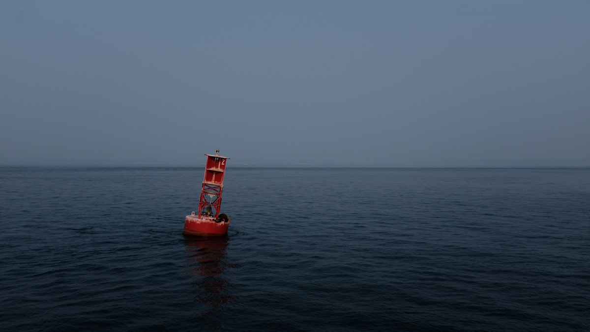
Marine weather buoys are independent floating devices that are anchored to the seabed. They are used to monitor and measure ocean conditions. Usually, they are put in places to assess wind speed, wind direction, tide level, and atmospheric pressure.
Though NOAA puts marine weather buoys in place, marine weather forecasts require a lot of detail, so third-party providers also use private buoy systems. Companies with big fleets also deploy their own weather buoys, especially along commonly used long-distance routes.
For example, the fishing industry uses these buoys to monitor wind and wave conditions and sea surface temperature in order to protect fish, improve safety, and reduce costs.
Various agencies, including the Coast Guard and the Bureau of Ocean Energy Management, can reduce the impact of accidents and spills. These use cases include toxic oil spills on local and regional ecosystems through real-time buoy observations.
Marine Weather Apps
Another way of monitoring marine weather is by using an app. There are several free or paid apps that you can download on your smartphone. These apps can alert you about the weather, giving you the latest marine weather info so you can plan your trip accordingly.
Some apps can help you track crucial marine conditions, including wind, wave, and tide conditions. Before going out, you can get information about the weather ahead. These apps can also give weather alerts for mariners, notifying them about potentially hazardous conditions.
These apps also have their own drawbacks, though. For example, the marine weather satellite app is very effective but requires an internet connection, so you have to consider that when using it for marine weather monitoring.
The apps are also prone to glitches, so keep in mind that there’s no way of knowing their accuracy. A marine weather app is helpful for mariners, but you still need to verify their accuracy, primarily if you constantly use them.
Marine Safety Information Broadcasts

Marine safety information broadcasts are a way to disseminate important information to mariners, using radio, satellite, or cellular technology, using dedicated or digital frequencies. These broadcasts provide real-time weather information, including marine weather radar, current weather conditions, tide forecasts, and more.
Broadcasts are used by the Coast Guard, the National Ocean Service, the National Oceanic and Atmospheric Administration, and other government agencies. They have a maritime information broadcast system (MIB) that broadcasts essential marine safety information, such as boater safety messages, safety alerts, weather advisories, and navigation warnings.
Broadcast technology is a widely used tool in public safety communications. It is also used to send emergency weather and marine forecasts to offshore and coastal boaters. For mariners who utilize VHF and SSB radio, this can be useful information for you.
Another way to monitor marine weather is by visiting your local NOAA Weather Radio station on your VHF or NOAA Weather Radio app, which can give you real-time marine weather information. These sources provide reliable atmospheric data that you can use when planning a trip.
The Bottom Line
Whether you do it yourself or rely on third-party providers, monitoring marine weather is a crucial step to ensuring your safety at sea. No matter what type of technology you use, the most important thing is reliable marine weather information. Always keep an eye on the forecast and plan accordingly.